
Middle distance – Tuesday, May 26th
Arena
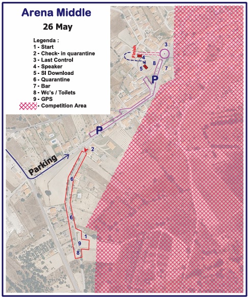
• Arena is located in Nave de Haver
(GPS: 40°31’06.7″N 6°50’15.9″W)
• Upon approaching the arena, there will be signage (orange and white arrows) for the parking lot, the quarantine area, and the arena itself.
• The event office at the arena is open from 8:30 – 13:00.
Parking
• Parking is available on the public road between the quarantine entrance and the arena.
Terrain
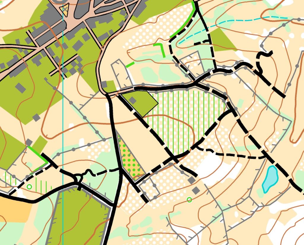
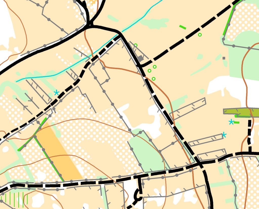
• Vegetation consists of woods and cattle grazing areas, where walls and fences predominate along the paths.
• The relief is low to medium.
• Good visibility and rapid progression.
Map
• Scale: 1:10000 / vertical contour interval 5 m
• Size: 31 x 37 cm
• printed on water-resistant paper
• Mapper: Alexandre Reis
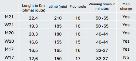
Course data
Quarantine zone / pre-start
- Distance from parking to quarantine zone: 700 to 400 m
- Check-in deadline quarantine zone: 09:30
- Receipt of GPS: Please be in quarantine at least 15 minutes before your pre-start time to
have sufficient time to collect and fix the GPS device. - It is the athletes’ responsibility to be ready for their call-up time. Competitors who are late
for their start time must use the corridor for late starters and must report to the start staff. - A clock showing the call-up time will be displayed at the pre-start, and the competitors’
names will be called 3 minutes before their start time. - Organisers will ensure bag delivery from quarantine to finish arena.
Start - Individual start with an interval of 2 minutes.
- Mandatory route of 220 m (marked by red stripes) from the time start to the point where
orienteering begins. This map start will be marked by a flag in the terrain.
Start
Individual start with an interval of 2 minutes.
Mandatory route of 220 m (marked by red stripes) from the time start to the point where
orienteering begins. This map start will be marked by a flag in the terrain.